
Full-moon & event summits 2026–2028 · join a group departure →
Trek Up Kilimanjaro
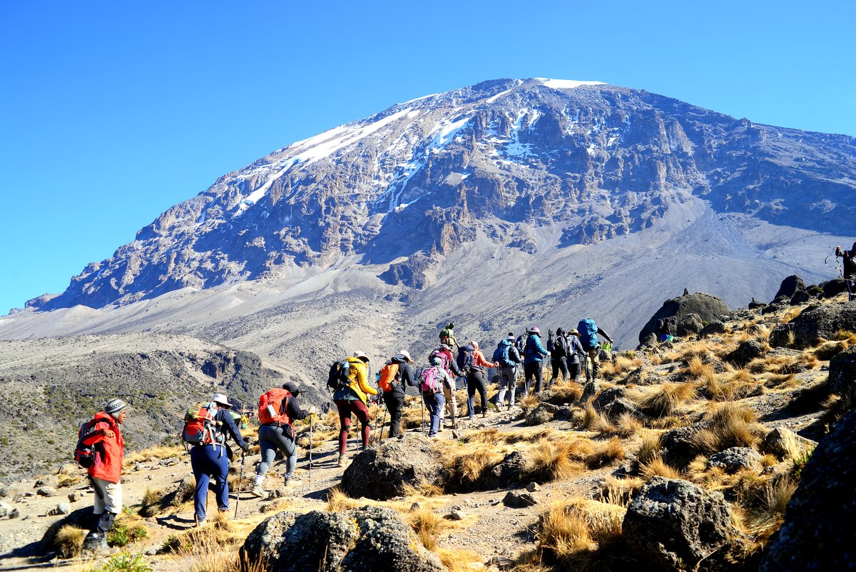
Climbers ascending with the Kibo peak behind them

Rongai Route

The only approach from the north, the driest option in the wetter months, and consistently the quietest of the mainstream routes.

In short

Rongai climbs the northern side near the Kenyan border, through terrain that is drier and more open than the southern rainforest, before joining the Marangu descent.

What it does well

  • The northern side sits in a rain shadow, so it stays drier when the south is wet.
  • Far fewer climbers than the southern routes.
  • A gentler, more consistent gradient on the way up.
  • The optional Mawenzi Tarn detour is one of the finest camps on the mountain.

What to weigh up

  • A long transfer around the mountain to reach the trailhead.
  • Less varied scenery than Lemosho or Machame on the ascent.
  • Fewer natural climb-high-sleep-low opportunities, so the itinerary length matters more.

Route facts

6–7 days
Recommended length
65 km
Total distance
5,895 m
Highest point
North
Approach side
Marangu
Descent route
Camping
Sleeping
Moderately challenging
Difficulty
Jan · Feb · Mar · Jun · Jul · Aug · Sep · Oct · Nov
Best months

The altitude profile

Circles mark sleeping altitudes. Those are what your body adapts to — the high points you walk over during the day matter far less.

Rongai Route elevation profile Route Sleeping altitude
Rongai Route elevation profile. Full data is given in the table below. 2,000 m 3,000 m 4,000 m 5,000 m 6,000 m Simba Camp 2,625 Second Cave 3,450 Kikelewa Ca 3,600 Mawenzi Tar 4,330 Kibo Hut 4,700 Uhuru Peak 5,895 Horombo Hut 3,720
Rongai Route elevation profile
Day Location Altitude (m) Distance (km) Overnight
1 Rongai Gate 1,950 0 No
1 Simba Camp 2,625 8 Yes
2 Second Cave 3,450 14 Yes
3 Kikelewa Camp 3,600 20 Yes
4 Mawenzi Tarn 4,330 25 Yes
5 Kibo Hut 4,700 33 Yes
6 Uhuru Peak 5,895 43 No
6 Horombo Hut 3,720 53 Yes
7 Marangu Gate 1,860 73 No

The route, camp by camp

As walked on our 7 Days Rongai Route itinerary, with the altitudes it gives.
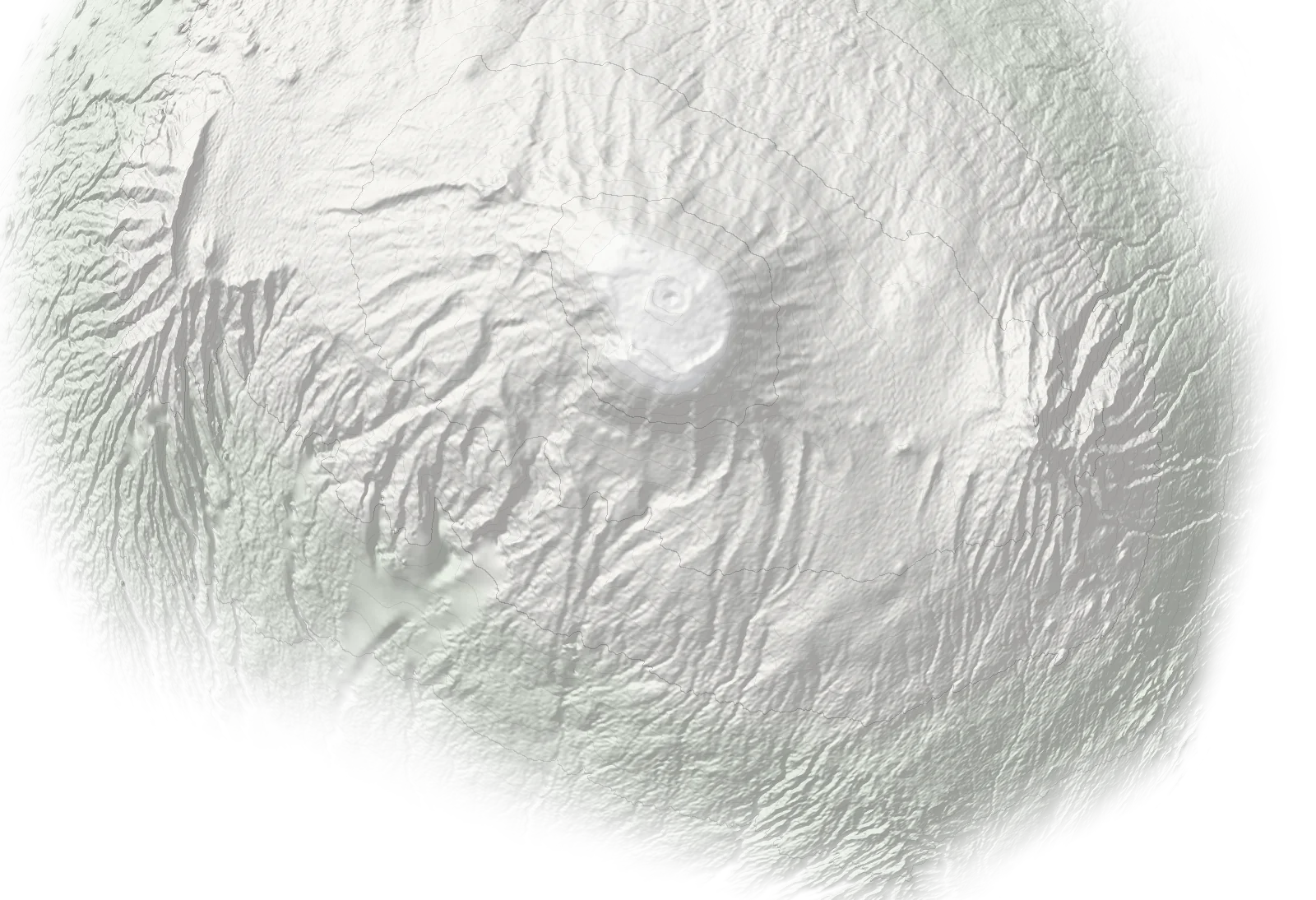
N Mawenzi Nalemuru Gate1,950 m Simba Camp2,625 m Second Cave Camp3,450 m Kikelewa Caves3,600 m Mawenzi Tarn Camp4,330 m Kibo Hut4,700 m Uhuru Peak5,895 m Horombo Hut3,720 m Marangu Gate1,860 m
Ascent Descent Overnight camp Schematic map, not to scale: positions are approximate and not for navigation. Altitudes are from our itineraries. Terrain: SRTM (NASA), via Terrain Tiles on AWS.
  1. 01 Nalemuru Gate gate 1,950 m
  2. 02 Simba Camp camp 2,625 m
  3. 03 Second Cave Camp camp 3,450 m
  4. 04 Kikelewa Caves camp 3,600 m
  5. 05 Mawenzi Tarn Camp camp 4,330 m
  6. 06 Kibo Hut hut 4,700 m
  7. 07 Uhuru Peak summit 5,895 m
  8. 08 Horombo Hut · descent hut 3,720 m
  9. 09 Marangu Gate · descent gate 1,860 m

Who this route suits

A good fit for

  • Climbers travelling in the shoulder seasons
  • Trekkers who want a quieter trail
  • Those who prefer a steadier, less steep gradient

Probably not for

  • Climbers who want the most dramatic scenery
  • Anyone hoping for a rainforest-heavy trek

Itineraries on this route


Before you decide

At a glance

Acclimatisation 4/5
Trail traffic 4/5
Difficulty 3/5
Scenery 3/5