Why we are suggesting this
Four questions
Find your Kilimanjaro route
No email required, and we will show you the reasoning behind every suggestion.
Question of
Our suggestion
Nothing standard fits what you have described
That usually means the time you have and the priority you have chosen pull in opposite directions. It is worth a conversation rather than a compromise.
Talk to us insteadWant a second opinion?
Send us the same four answers and a Tanzania-based guide will tell you whether they agree — and what they would do differently.
While you decide
Where each route goes
Pick a route to see where it starts, where you sleep and how you come down.
Lemosho Route
Western approach · 7–8 days · Level 3 of 5
Lemosho begins on the quiet western side, crosses the Shira Plateau over two days and joins the southern circuit near Barranco. Its length is the point — the extra days are what let your body catch up with the altitude.
Comes down via Mweka Gate. Camps and altitudes from our 8 Days Lemosho Route itinerary.
- Londorossi Gate 2,100 m
- Mti Mkubwa (Big Tree) Camp 2,650 m
- Shira 1 Camp 3,610 m
- Shira 2 Camp 3,850 m
- Lava Tower
- Barranco Camp 3,900 m
- Karanga Camp 3,995 m
- Barafu Camp 4,673 m
- Uhuru Peak 5,895 m
- Mweka Camp (descent) 3,100 m
- Mweka Gate (descent) 1,640 m
Machame Route
Southern approach · 6–7 days · Level 4 of 5
Machame climbs steeply out of the rainforest on the southern side and follows a varied, scenic line around the mountain. Its profile naturally forces climb-high-sleep-low days, which helps; its crowds and its shorter itineraries do not.
Comes down via Mweka Gate. Camps and altitudes from our 7 Days Machame Route itinerary.
- Machame Gate 1,800 m
- Machame Camp 3,000 m
- Shira Camp 3,840 m
- Lava Tower
- Barranco Camp 3,900 m
- Karanga Camp 3,995 m
- Barafu Camp 4,673 m
- Uhuru Peak 5,895 m
- Mweka Camp (descent) 3,100 m
- Mweka Gate (descent) 1,640 m
Shira Route
Western approach · 7–8 days · Level 3 of 5
Shira approaches from the west across the same plateau as Lemosho, but the road takes you high before you take a step. That saves a day of walking and costs you the gentlest part of the acclimatisation.
Comes down via Mweka Gate. Camps and altitudes from our 7 Days Shira Route itinerary.
- Shira Gate 3,400 m
- Shira 1 Camp 3,610 m
- Shira 2 Camp 3,850 m
- Lava Tower
- Barranco Camp 3,900 m
- Karanga Camp 3,995 m
- Barafu Camp 4,673 m
- Uhuru Peak 5,895 m
- Mweka Camp (descent) 3,100 m
- Mweka Gate (descent) 1,640 m
Northern Circuit Route
Western approach · 8–9 days · Level 3 of 5
The Northern Circuit starts on Lemosho, then swings around the rarely walked northern slopes before approaching the summit from the east. It is the only route that shows you the mountain from all four sides.
Comes down via Mweka Gate. Camps and altitudes from our 9 Days Northern Circuit Route itinerary.
- Londorossi Gate 2,100 m
- Mti Mkubwa (Big Tree) Camp 2,650 m
- Shira 1 Camp 3,610 m
- Moir Hut Camp 4,200 m
- Buffalo Camp 4,020 m
- Third Cave Camp 3,870 m
- School Hut 4,750 m
- Uhuru Peak 5,895 m
- Millennium Camp (descent) 3,820 m
- Mweka Camp (descent) 3,100 m
- Mweka Gate (descent) 1,640 m
Rongai Route
Northern approach · 6–7 days · Level 3 of 5
Rongai climbs the northern side near the Kenyan border, through terrain that is drier and more open than the southern rainforest, before joining the Marangu descent.
Comes down via Marangu Gate. Camps and altitudes from our 7 Days Rongai Route itinerary.
- Nalemuru Gate 1,950 m
- Simba Camp 2,625 m
- Second Cave Camp 3,450 m
- Kikelewa Caves 3,600 m
- Mawenzi Tarn Camp 4,330 m
- Kibo Hut 4,700 m
- Uhuru Peak 5,895 m
- Horombo Hut (descent) 3,720 m
- Marangu Gate (descent) 1,860 m
Marangu Route
Eastern approach · 5–6 days · Level 3 of 5
Marangu is the oldest route on the mountain and the only one where you sleep in shared dormitory huts rather than tents. It is also the shortest, which is precisely why its reputation is mixed.
Comes down by the same trail. Camps and altitudes from our 6 Days Marangu Route itinerary.
- Marangu Gate 1,860 m
- Mandara Hut 2,720 m
- Horombo Hut 3,720 m
- Kibo Hut 4,700 m
- Uhuru Peak 5,895 m
Umbwe Route
Southern approach · 6–7 days · Level 5 of 5
Umbwe climbs a narrow forested ridge on the southern side, gaining height fast. It is beautiful and quiet, and it is the least forgiving profile on Kilimanjaro.
Comes down via Mweka Gate. Camps and altitudes from our 6 Days Umbwe Route itinerary.
- Umbwe Gate 1,600 m
- Umbwe Cave Camp 2,850 m
- Barranco Camp 3,900 m
- Karanga Camp 3,995 m
- Barafu Camp 4,673 m
- Uhuru Peak 5,895 m
- Mweka Camp (descent) 3,100 m
- Mweka Gate (descent) 1,640 m
Read them in full
Every route, in detail
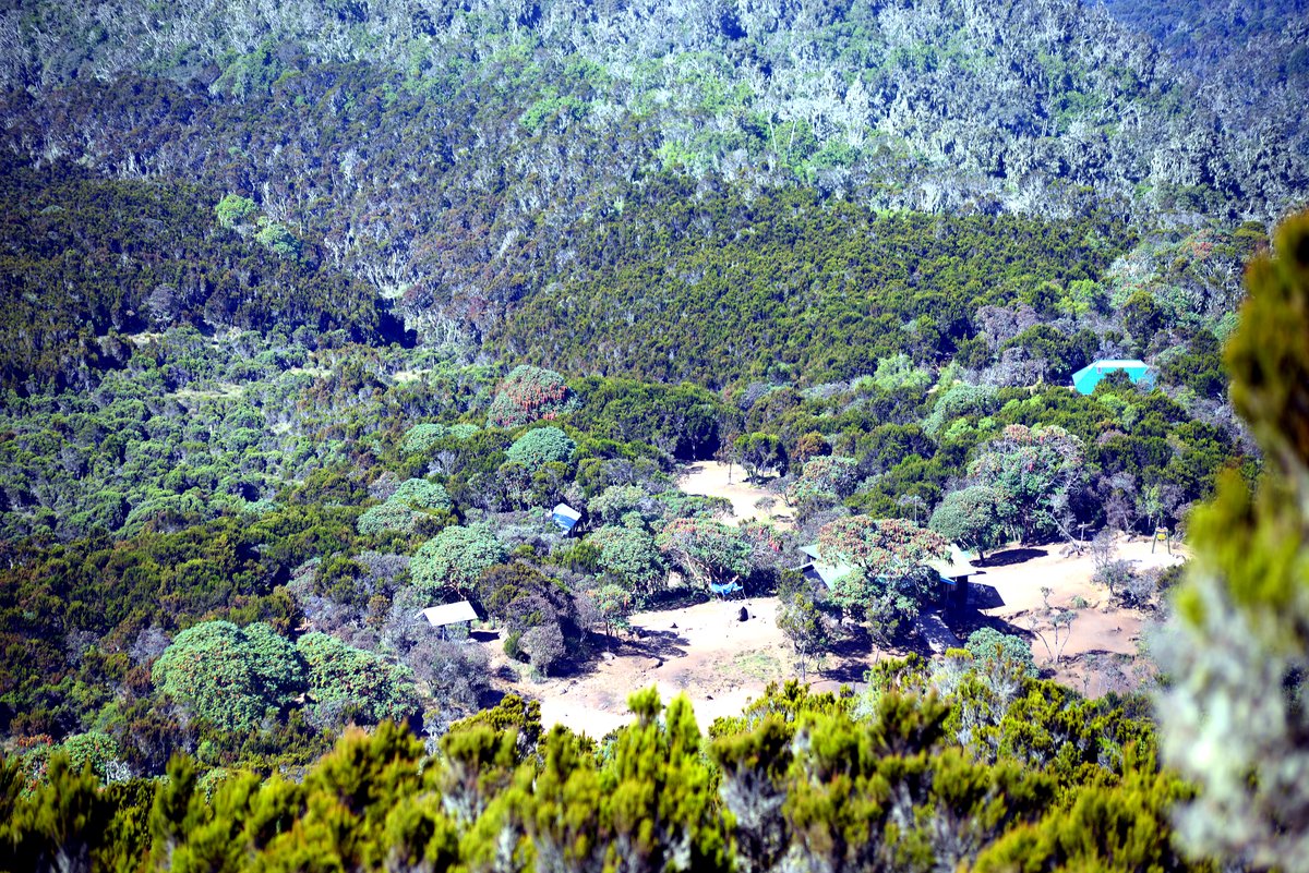
7–8 days
Recommended
Lemosho
The best-balanced route on the mountain: a long, gradual western approach with the acclimatisation profile most first-time climber...
- Acclimatisation
- Excellent
- Trail traffic
- Moderate
- Sleeping
- Camping
- Approach
- West side
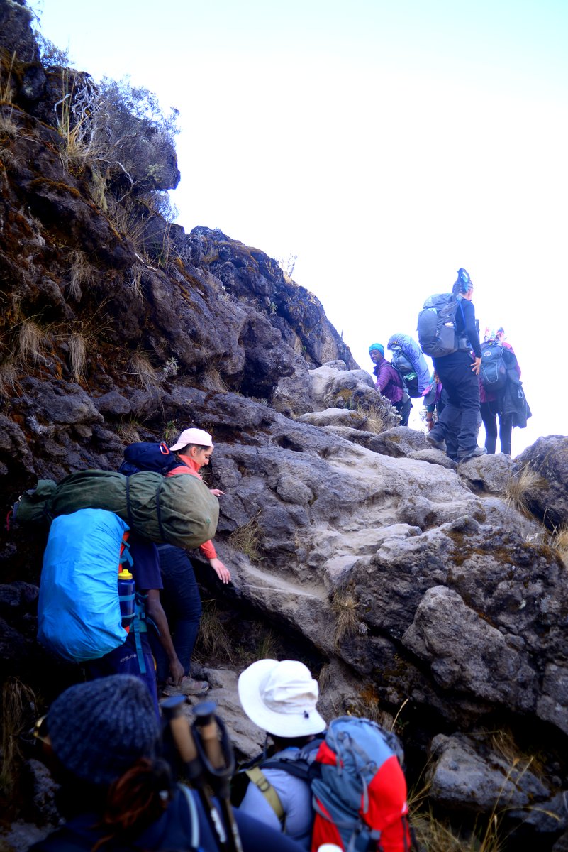
6–7 days
Machame
The most popular route on Kilimanjaro, and deservedly so — but popular means busy, and six days is short for the altitude it cover...
- Acclimatisation
- Good
- Trail traffic
- Very busy
- Sleeping
- Camping
- Approach
- South side
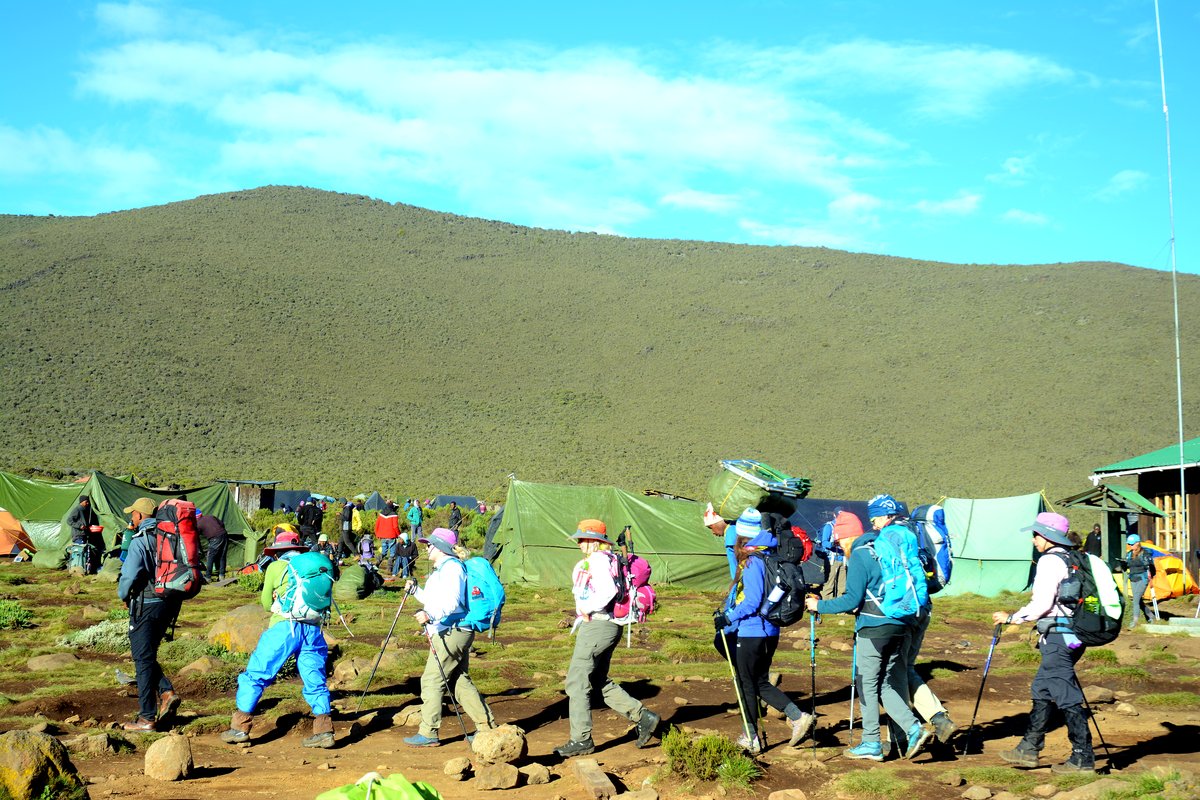
7–8 days
Shira
Lemosho’s older sibling, and the reason Lemosho exists. It drives you to roughly 3,400 m and starts you there, which suits climber...
- Acclimatisation
- Adequate
- Trail traffic
- Quiet
- Sleeping
- Camping
- Approach
- West side
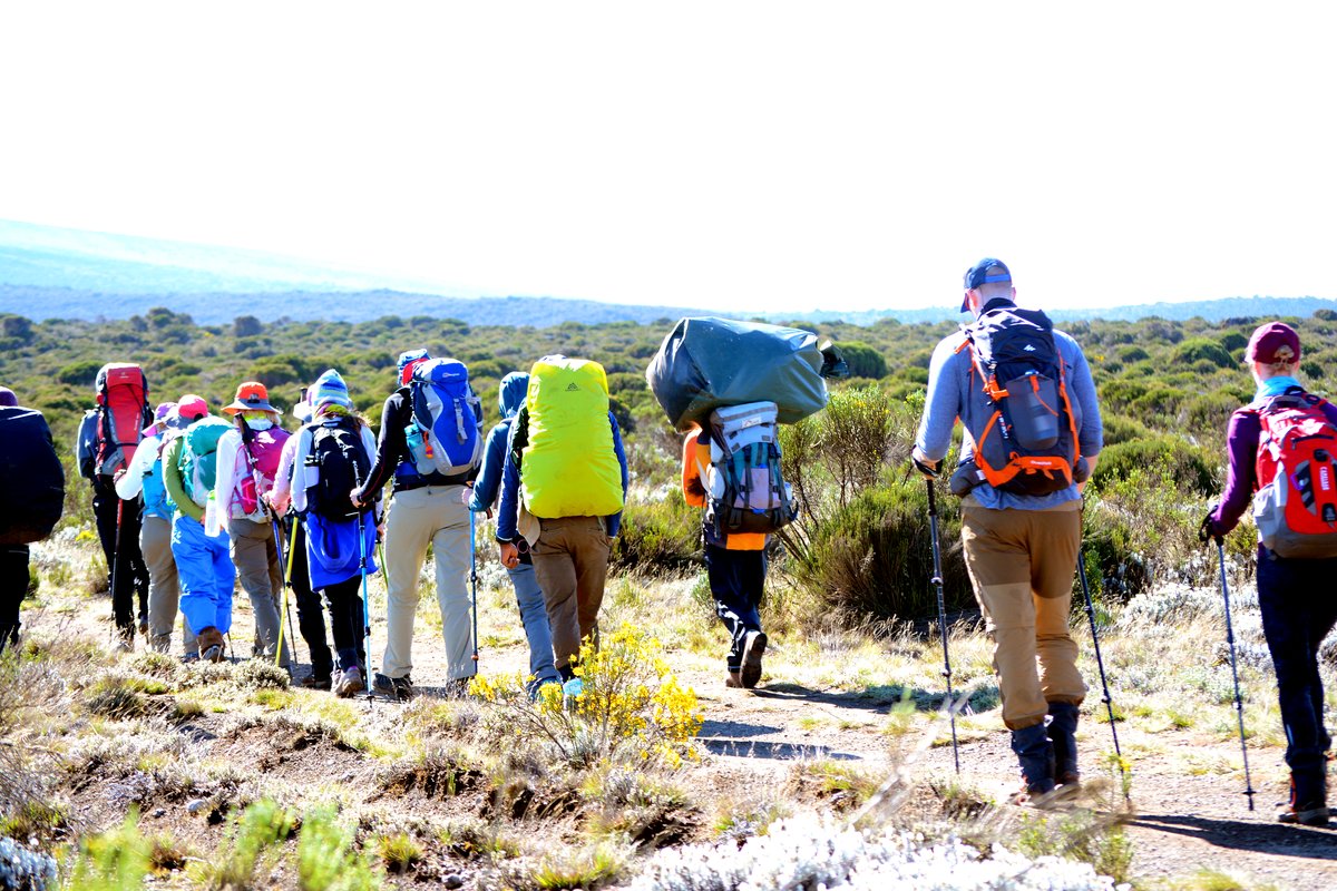
8–9 days
Northern Circuit
The longest route on Kilimanjaro and the strongest acclimatisation profile available. If you have nine days, this is the most cons...
- Acclimatisation
- Excellent
- Trail traffic
- Very quiet
- Sleeping
- Camping
- Approach
- West side
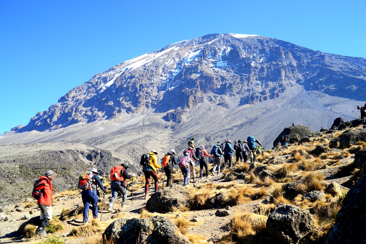
6–7 days
Rongai
The only approach from the north, the driest option in the wetter months, and consistently the quietest of the mainstream routes.
- Acclimatisation
- Good
- Trail traffic
- Quiet
- Sleeping
- Camping
- Approach
- North side
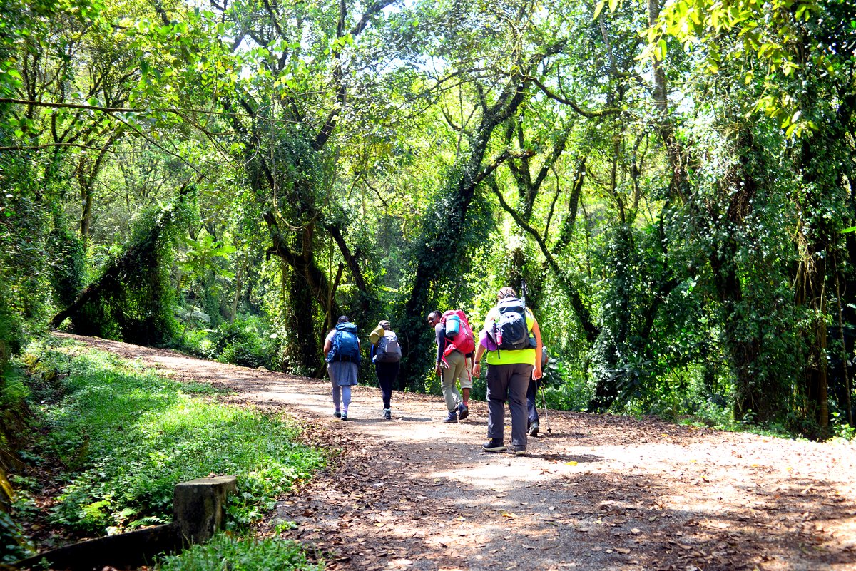
5–6 days
Marangu
The only route with hut accommodation, and the only one that ascends and descends the same path. Choose it for the huts, not for t...
- Acclimatisation
- Limited
- Trail traffic
- Busy
- Sleeping
- Huts
- Approach
- East side
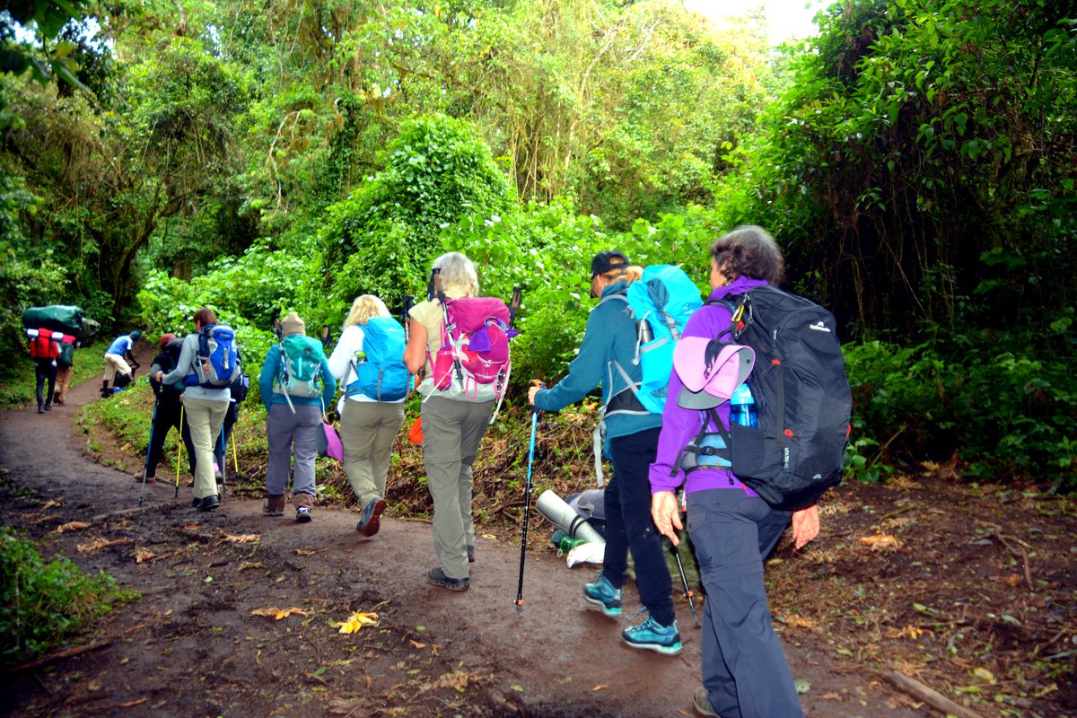
6–7 days
Umbwe
The steepest and most direct line on the mountain. Genuinely demanding, poorly suited to acclimatisation, and not a route we would...
- Acclimatisation
- Poor
- Trail traffic
- Very quiet
- Sleeping
- Camping
- Approach
- South side