Full-moon & event summits 2026–2028 · join a group departure →
Trek Up Kilimanjaro
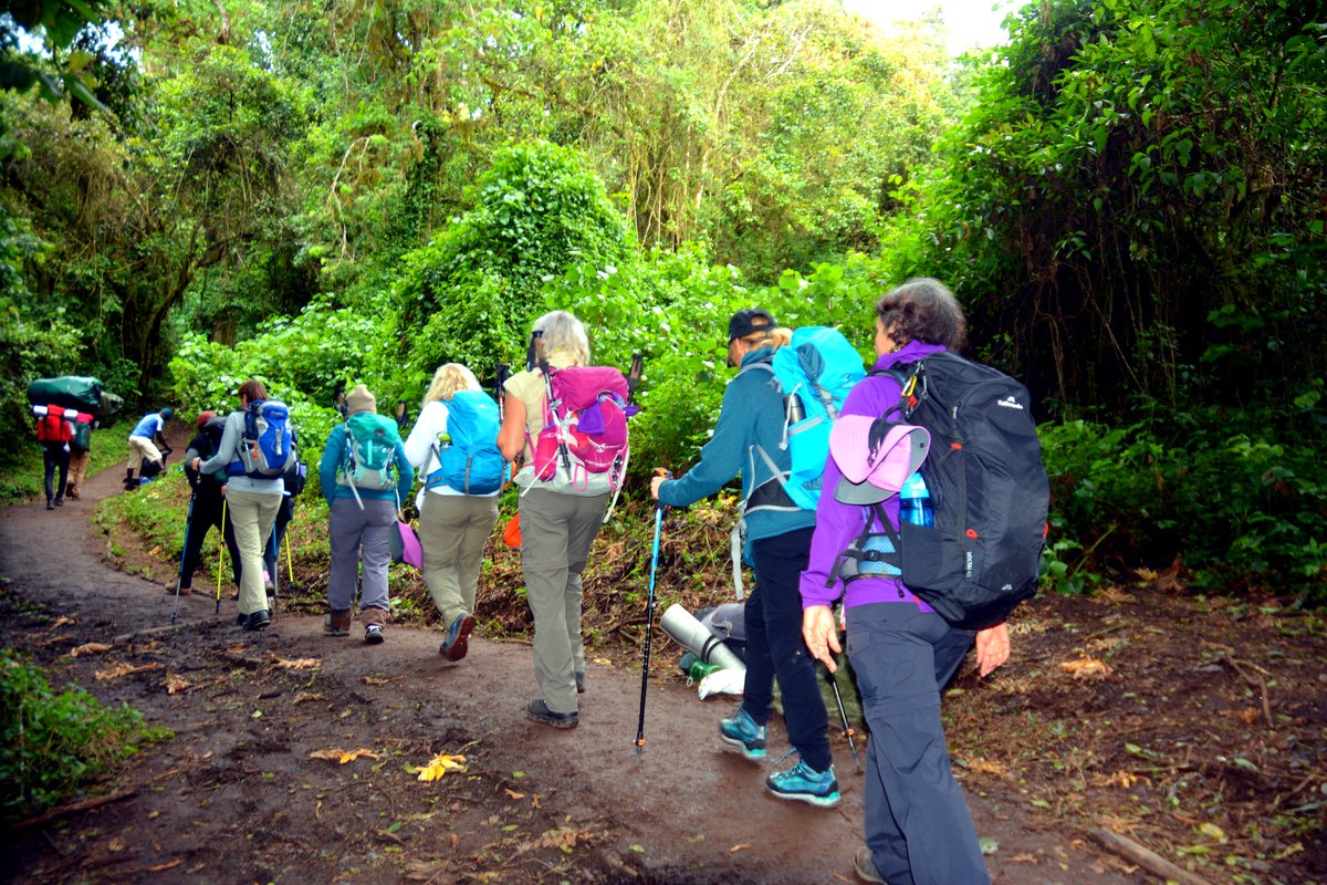
Climbers in single file on a forest trail

Umbwe Route

The steepest and most direct line on the mountain. Genuinely demanding, poorly suited to acclimatisation, and not a route we would suggest for a first Kilimanjaro climb.

In short

Umbwe climbs a narrow forested ridge on the southern side, gaining height fast. It is beautiful and quiet, and it is the least forgiving profile on Kilimanjaro.

What it does well

  • Almost no other climbers on the ascent.
  • A striking forested ridge line with steep drop-offs on both sides.
  • The shortest distance to the summit.
  • Joins the southern circuit at Barranco, so the upper route is well supported.

What to weigh up

  • Very rapid altitude gain, with the weakest acclimatisation profile on the mountain.
  • Steep, sustained scrambling on day two.
  • Considerably lower summit chances for climbers without altitude experience.
  • If you want quiet, the Northern Circuit or Rongai achieve it without the risk profile.

Route facts

6–7 days
Recommended length
53 km
Total distance
5,895 m
Highest point
South
Approach side
Mweka
Descent route
Camping
Sleeping
Very demanding
Difficulty
Jan · Feb · Jun · Jul · Aug · Sep
Best months

The altitude profile

Circles mark sleeping altitudes. Those are what your body adapts to — the high points you walk over during the day matter far less.

Umbwe Route elevation profile Route Sleeping altitude
Umbwe Route elevation profile. Full data is given in the table below. 2,000 m 3,000 m 4,000 m 5,000 m 6,000 m Umbwe Cave 2,850 Barranco Ca 3,900 Karanga Cam 3,995 Barafu Camp 4,673 Uhuru Peak 5,895 Mweka Camp 3,100
Umbwe Route elevation profile
Day Location Altitude (m) Distance (km) Overnight
1 Umbwe Gate 1,600 0 No
1 Umbwe Cave Camp 2,850 11 Yes
2 Barranco Camp 3,900 17 Yes
3 Karanga Camp 3,995 22 Yes
4 Barafu Camp 4,673 26 Yes
5 Uhuru Peak 5,895 34.5 No
5 Mweka Camp 3,100 43 Yes
6 Mweka Gate 1,640 53 No

The route, camp by camp

As walked on our 6 Days Umbwe Route itinerary, with the altitudes it gives.
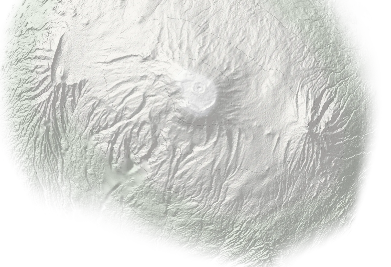
N Mawenzi Umbwe Gate1,600 m Umbwe Cave Camp2,850 m Barranco Camp3,900 m Karanga Camp3,995 m Barafu Camp4,673 m Uhuru Peak5,895 m Mweka Camp3,100 m Mweka Gate1,640 m
Ascent Descent Overnight camp Schematic map, not to scale: positions are approximate and not for navigation. Altitudes are from our itineraries. Terrain: SRTM (NASA), via Terrain Tiles on AWS.
  1. 01 Umbwe Gate gate 1,600 m
  2. 02 Umbwe Cave Camp camp 2,850 m
  3. 03 Barranco Camp camp 3,900 m
  4. 04 Karanga Camp camp 3,995 m
  5. 05 Barafu Camp camp 4,673 m
  6. 06 Uhuru Peak summit 5,895 m
  7. 07 Mweka Camp · descent camp 3,100 m
  8. 08 Mweka Gate · descent gate 1,640 m

Who this route suits

A good fit for

  • Experienced high-altitude trekkers
  • Climbers who have summited above 5,000 m before
  • Those who want the quietest possible ascent

Probably not for

  • First-time high-altitude climbers
  • Anyone who has had altitude sickness before
  • Trekkers who are unsure of their fitness

Itineraries on this route


Before you decide

At a glance

Acclimatisation 1/5
Trail traffic 5/5
Difficulty 5/5
Scenery 4/5